Crop Health and Biological Stress Products
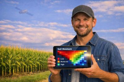
- Early Emergent Health Scan -- Detect uneven seed emergence, planter skips, compaction, and stress zones
- Mid‑Season Health Scan -- NDVI/NDRE vigor, nutrient stress, canopy density
- Below‑Canopy Diagnostic Scan -- Disease onset, pest pressure, nutrient deficiency signatures
- Late‑Season Maturity Scan -- Dry‑down progression, harvest readiness indicators
- Weed Pressure Mapping -- Density, species differentiation, early-season emergence
- Herbicide‑Resistance Hotspot Detection -- Persistent patches, stress signatures, treatment prioritization
- Pest Pressure Early Warning Scan -- Hotspot detection, spread modeling, canopy stress indicators
- Disease Onset Detection -- Early canopy anomalies, under‑canopy confirmation imagery

Risk and Damage Reports
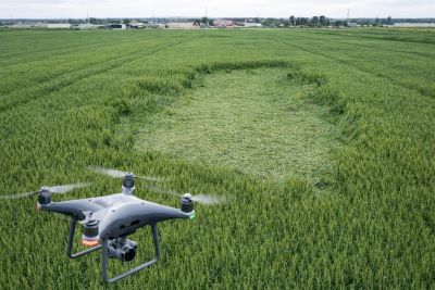
- Catastrophic storm damage -- Quick broad area assessment of fields and structures to see if more detailed analysis for insurance purposes are needed.
- Hail Impact Assessment -- Impact zones, severity mapping, insurance documentation
- Flood and Ponding Extent Map -- Water accumulation, drainage failures, tile performance
- Wind damage Assessment -- Structural crop failure, severity zones, harvest impact
Terrain and Field Metrics
- Slope & Aspect Scan -- Field slope classes, solar exposure, operational planning
- Solar Exposure Maps -- Calculate solar exposure for any given time period
- Micro‑Topography (cm‑level DEM) -- High‑precision elevation for drainage and equipment planning
- Water Flow & Erosion Risk Map -- Flow paths, sediment risk, conservation planning
- Machinery Access & Trafficability Map -- Soft spots, compaction zones, seasonal access risk
- Ag Bag Volumetrics - Measure the volume of feed remaining in Ag Bags

Infrastructure Mapping Products
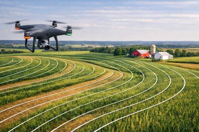
- Tile Drainage Mapping -- Tile line inference, failures, wetness signatures
- Windbreak & Tree Line Condition -- Encroachment, health, gaps, conservation recommendations
- Fence Line & Boundary Mapping -- Encroachment, downed sections, accurate digital boundaries
- Farmstead 3D Model -- Buildings, bins, barns, emergency planning, insurance
- Ditch & Waterway Condition Map -- Blockages, erosion, sediment buildup, flow restrictions
- Fill Analysis -- Calculate the volume of fill needed to smooth out holes, gaps, and low spots
- Debris Volume Calculator -- Measure the volume of natural and man-made debris piles
Soil, Water & Nutrient Products
- Water Stress & Moisture Variability -- Drought zones, irrigation efficiency, wetness patterns
- Nutrient Deficiency (NDRE) Scan -- Nitrogen, potassium, and micronutrient stress signatures
- Soil Health Trend Mapping -- Multi‑year vegetation persistence, biomass trends
- Carbon Sequestration Monitoring -- Biomass accumulation, regenerative practice impact
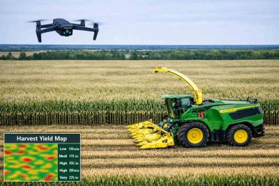
Harvest Operation Products
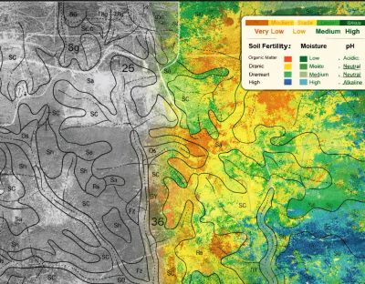
- Planting Quality Assessment -- Emergence uniformity, planter performance, compaction inference
- Yield Potential Forecast -- Biomass modeling, terrain‑adjusted yield zones
- Harvest Readiness & Dry‑Down Map -- Moisture variability, sequencing recommendations
- Acreage & Boundary Verification -- Accurate acreage for insurance and reporting.
Continuous Monitoring Products
- Daily Canopy Condition Monitoring -- 360° pole cameras + satellite revisit frequency
- Growth Curve Tracking -- Time‑lapse vegetation development
- Storm Event Time‑Lapse -- Pre and post‑storm comparisons
- Livestock Perimeter Monitoring -- Fence breaches, animal movement, security